Day 10 · Loire Valley
Port of Saint-Martin-de-Ré
Step 1 · Before you enter · ~15 sec

Port of Saint-Martin-de-Ré

★ 4.6 (6,387) Maps ↗ Website ↗

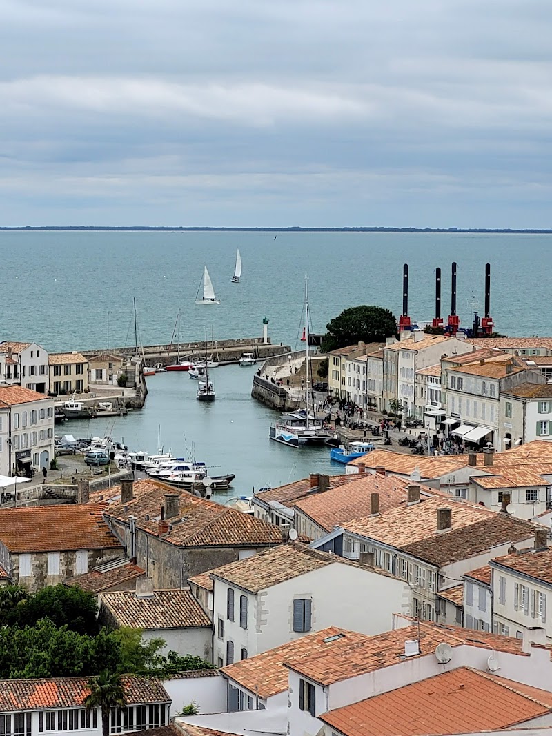
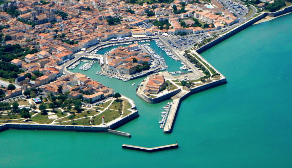
You’re standing at a port that was built to be both a working harbor and a shield for the whole island. Look up, because the walls, the open ground outside them, and the waterway in front of you all still show Vauban’s plan at work.

Stand outside · play the audio first, then read on.

Step 2 · The story · ~2 min

Why this place matters

Saint-Martin-de-Ré was shaped in the 1600s by Vauban, the military engineer of Louis XIV, and UNESCO recognizes it as part of the great Vauban fortifications because it shows how a town, not just a fort, could be defended together. As you walk the harbor edge, notice how the basin, lock, and dike still organize the waterfront, while the open glacis outside the walls was left clear on purpose so attackers would have nowhere to hide. That is the real trick here: the place looks peaceful now, but every line in the landscape was drawn for defense. For your family, this is an easy loop with good stops for a break by the quay or a quick ice cream, and the best view is from the ramparts looking back over the port and rooftops. If you arrived by car, the 2.9-kilometre bridge has a toll going onto the island and the return trip is free, so many people come early or later in the day before traffic builds.

Read more →
Step 3 · Going in

Here's how

Best time to visit

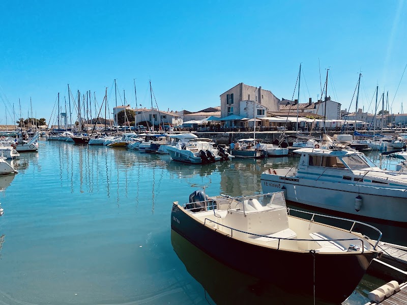
Go early or late in the day, before bridge traffic and day-trippers build up. That is when the harbour edge, ramparts, and streets are easiest to read without crowds in the frame.

Entry strategy

Entry to the town walls is free, and you can walk the fortifications on your own year-round. The citadel itself is not open to visits because it now houses a prison, so there is no interior ticket to buy.

Recommended route

Start at the harbour edge, then follow the ramparts for the outside view of the glacis and the town wall. Finish with a loop through the narrow streets inside the walls, keeping the bridge crossing separate if you are driving; the bridge is 2.9 km each way in practice, with the toll charged inbound and the return free.

Tap ⓘ at the top right anytime for hours, address, prices.

Look at this · 1 of 5
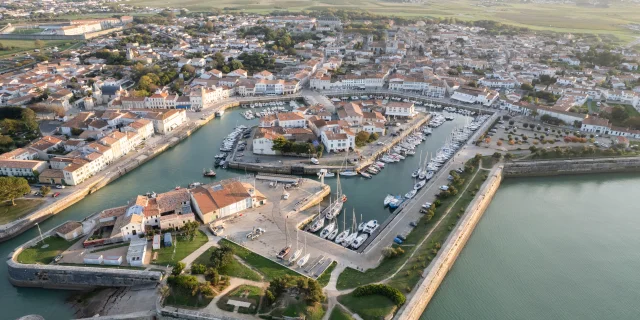
Harbour edge basin

Harbour edge basin

Where to find itStand on the quay along the harbour edge, then turn to face back toward the town and walls.

Look forThe basin, lock, and dike line up in a way that shows the port is still working, not just decorative.

Why it matters · Most visitors photograph the boats and stop there. Looking back reveals how the port was engineered as part of the defense system, with water control tied directly to Vauban’s plan for the town.
Look at this · 2 of 5
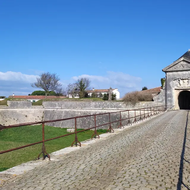
Open glacis outside walls

Open glacis outside walls

Where to find itWalk to the outer side of the ramparts and look across the ground just beyond the fortifications.

Look forA broad, open strip of land with no buildings crowding the walls.

Why it matters · That empty buffer is the glacis, and it is easy to miss because it looks like leftover space. It matters because the defense plan deliberately kept attackers exposed and the walls visible from far outside the town.
Look at this · 3 of 5

Monumental gate approach

Where to find itFind the single main entrance to the citadel area and stand where the approach narrows toward it.

Look forA heavy gate opening onto a small fortified port, with the fortification lines pulling inward to control movement.

Why it matters · This is the clearest place to see how access was restricted and funnelled. Without this viewpoint, the citadel can read as just another old wall rather than a deliberately controlled military entry.
Look at this · 4 of 5
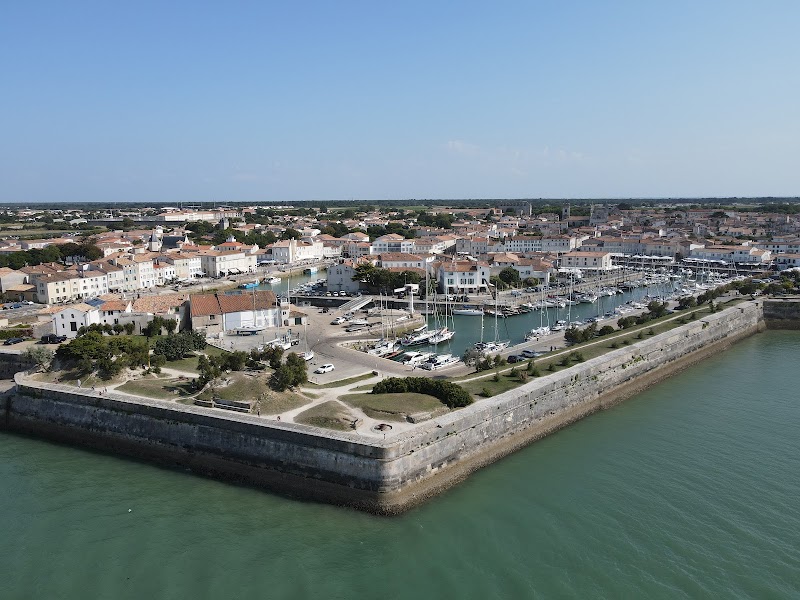
Rampart circuit views

Rampart circuit views

Where to find itClimb or walk the ramparts where the town wall curves around Saint-Martin-de-Ré.

Look forThe 14-kilometre wall line and the semicircular sweep of the fortifications around the town.

Why it matters · The scale is the point: this was built to shelter the whole island population if needed, not just to protect a fort. The walk makes Vauban’s city-wide defense plan legible in a way street level does not.
Look at this · 5 of 5
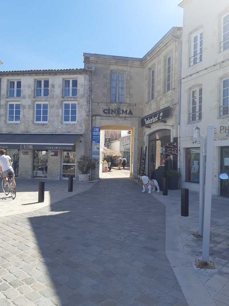
Town streets inside walls

Town streets inside walls

Where to find itStep off the walls into the narrow streets inside the fortified core, especially where the lanes run close to the ramparts.

Look forShort, quiet streets that sit tightly within the military layout rather than spreading outward.

Why it matters · These streets show that the town was organized inside the defense system, not separate from it. That is what distinguishes Saint-Martin-de-Ré from a pretty port town with a wall around it.
Photo gallery

What it looks like

Almost done · before you leave

Spot these

Find each one — tap to tick it off.

Done · time to eat

Nearby eat & drink

Filters

Section
Price
Max walking time
Minimum rating
Type

Coffee & bakery

Casual cafés and bakeries closest to here
Lunch

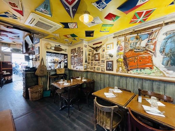
Sit-down lunch spots

Dinner

Where to land in the evening

Quick grab

Fast food & takeaway for when you just need something fast
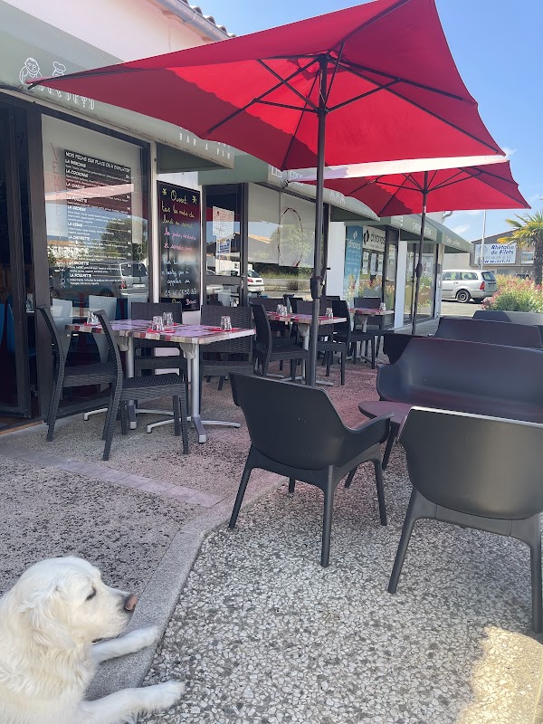
Searched, none found within range: Specialty coffee · Familiar chains / fast food. The nearest fast food is likely in the closest town.

Practical info

Address Quai Daniel Rivaille, Saint-Martin-de-Ré, France
Time 12:10
Suggested 90 min
Rating 4.6★ (6,387)
Website la.charente-maritime.fr
Map Open in Google Maps

More about this place

Walk the harbour edge and then look back from the ramparts: most people stop for the port photos, but the real detail is how the basin, lock, and dike still shape the working waterfront, and the old glacis left open outside the walls shows how Vauban’s defense plan was meant to keep attackers exposed.[1] Go early or late in the day, before the bridge traffic and day-trippers build up, and if you are driving, remember the 2.9 km bridge carries the island toll on the way in while the return is free.[4][5] Saint-Martin-de-Ré matters because its fortifications are not just scenic; they are a rare, well-preserved example of 17th-century military engineering that UNESCO recognized for showing how coastal defense was designed around an entire town.[1] For Claudiu, Roxana, and Melek, the walk is easy to do as a short loop with plenty of stops for ice cream or a break by the quay, but wear good shoes because the cobbles and wall paths are much better on foot than with anything wheeled.[1][2]